Powering Geospatial Intelligence for Climate-Aware Insurers
CyStellar, a space-tech company specializing in geospatial intelligence, partnered with Reshape Digital to enhance and scale its cloud-based platform for the insurance sector. Leveraging satellite and aerial imagery, the platform delivers real-time risk insights, climate exposure analysis, and post-event loss estimation. Our collaboration helped refine performance, improve data interpretation, and make complex geospatial technology accessible to the people who need it most.
Industry
Insurance
Services
Custom Software & Product Engineering
AI, Data & Intelligent Automation
Infrastructure & DevOps
The Challenge
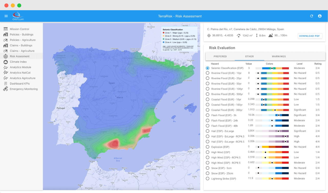
CyStellar’s mission is to help insurers make faster, more accurate decisions using satellite data, but bringing this vision to life came with challenges. Map-based data layers, critical for climate and disaster risk assessment, were difficult to manipulate and slowed down by rendering limitations. High-resolution images needed smarter interpretation to transform raw visuals into actionable insights. Also, a critical part of the challenge was translating complex satellite data into tools that felt intuitive and useful for insurance professionals who weren’t deeply technical and were used to traditional, manual processes.
Our Solution
We partnered with CyStellar’s engineering team to upgrade how the platform handled complex maps, overlays, and interactive features. This meant rethinking how geospatial data was loaded, displayed, and layered, ensuring smooth performance even under heavy datasets and high zoom levels.
To improve risk modeling and post-event support, we helped develop image interpretation logic that could analyze satellite and aerial data to detect patterns, damage, or anomalies in real time. This added a new layer of intelligence to the platform, allowing users to make decisions based on data that was both scientifically sound and visually clear.
“A platform that bridges space technology and practical, everyday insurance decisions.”
A key focus was also usability. We redesigned interface flows and refined dashboard experiences, ensuring that non-technical users, especially underwriters and claims agents, could quickly find what they needed and trust the platform’s outputs.
The solution was deployed on AWS, taking advantage of cloud-native scalability and resilience. Built with a tech stack of JavaScript, Python, and MongoDB, the platform was made lean, flexible, and primed for future growth across other verticals like agriculture and logistics.
Impact & Results
- Improved rendering and performance of interactive geospatial layers.
- Enabled automated analysis of satellite imagery for post-event insights.
- Enhanced usability for insurance professionals through streamlined UX.
- Optimized AWS infrastructure for cost-efficiency and scale.
- Advanced adoption of climate and spatial intelligence in a traditionally conservative sector.
What’s Next
We continue to work with CyStellar to enhance platform capabilities, adding new risk models, streamlining integrations, and expanding support for high-frequency satellite data. As the climate crisis drives demand for smarter underwriting and claims tools, CyStellar is well-positioned to become a foundational intelligence layer for insurers worldwide.
Meet the expert

Eliza Brisan
Technical Lead
Bringing deep curiosity and energy to every aspect of platform development, Eliza is passionate about emerging technologies and is constantly identifying ways to improve usability, performance, and scalability. With a strong product mindset and a sharp eye for detail, she plays a key role in shaping features that drive real impact for both users and the business.
Our proven impact
Because success is more than shipping, it’s about shaping what’s next.

CUSTOM SOFTWARE & PRODUCT ENGINEERING IN HOSPITALITY & TRAVEL TECH
Revolutionizing Static Content Management for Global Hospitality Brands

DIGITAL STRATEGY & TRANSFORMATION IN FACILITIES MANAGEMENT / BUILDING COMPLIANCE
Digital Transformation for a Global Leader in Elevator and Escalator Compliance

CUSTOM SOFTWARE & PRODUCT ENGINEERING IN HOSPITALITY & TRAVEL TECH
Automating 2m Visuals Distribution for Over 75k Hotels

CUSTOM SOFTWARE & PRODUCT ENGINEERING IN HEALTHCARE & PHARMACEUTICAL
Powering Documentation Automation for Pharma Labs

CUSTOM SOFTWARE & PRODUCT ENGINEERING IN HOSPITALITY & TRAVEL TECH
Building a Scalable Digital Assets Platform
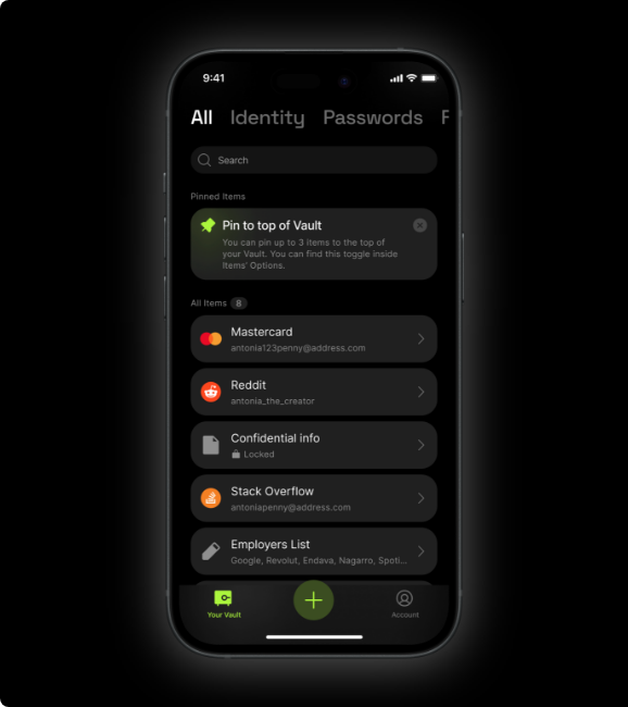
CUSTOM SOFTWARE & PRODUCT ENGINEERING IN IDENTITY, SECURITY & BLOCKCHAIN
Building a Privacy-First Digital Identity Wallet
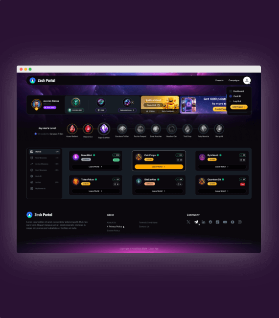
CUSTOM SOFTWARE & PRODUCT ENGINEERING IN WEB3 & BLOCKCHAIN
Powering Community Growth for Web3 with Zesh

AI, DATA & INTELLIGENT AUTOMATION IN WHOLESALE & DISTRIBUTION